العربية

NASA Image and Video Library

Records indexed under NASA Image and Video Library, with original identifiers, source links and item-level rights evidence. This is the imported selection, not the institution’s entire holdings. Verify the originating institution when the source is an aggregator.

4,093 matching records; original descriptions and titles are preserved. Search and filters →

Verify the evidence · Cite an item or clip · Rights

2017NASA Image and Video Library

NASA Evaluates New Threats to Earth’s Ozone Layer

Scientists are closely monitoring positive signs of recovery of the Earth’s stratospheric ozone layer, which is depleted by the use of chemicals called chlorofluorocarbons (CFCs) for a range of industrial and commercial purposes. Even after the landmark Montreal Protocol banned these substances in the late 1980s, threats to the ozone layer persist. Scientists at NASA’s Goddard Space Flight Center including Susan Stra

2017NASA Image and Video Library

Kilbourne Hole: Exploring A Crater

This video looks at a NASA Goddard Instrument Field Team deployment to the Kilbourne Hole maar crater in New Mexico. The scientists came here to test hand-held geological instruments that may one day be used by astronauts exploring the Moon, Mars or even an asteroid. As a part of this data collection, astronaut Barry E. "Butch" Wilmore, a former commander of the International Space Station, conducted simulated moonwa

2017NASA Image and Video Library

The Birth of a New Island: Press Materials

In late December 2014, a submarine volcano in the South Pacific Kingdom of Tonga erupted, sending a violent stream of steam, ash and rock into the air. The ash plumes rose as high as 30,000 feet (9 kilometers) into the sky, diverting flights. When the ash finally settled in January 2015, a newborn island with a 400-foot (120-meter) summit nestled between two older islands – visible to satellites in space. The newly f

2017NASA Image and Video Library

Our Home Planet (NASM 2017)

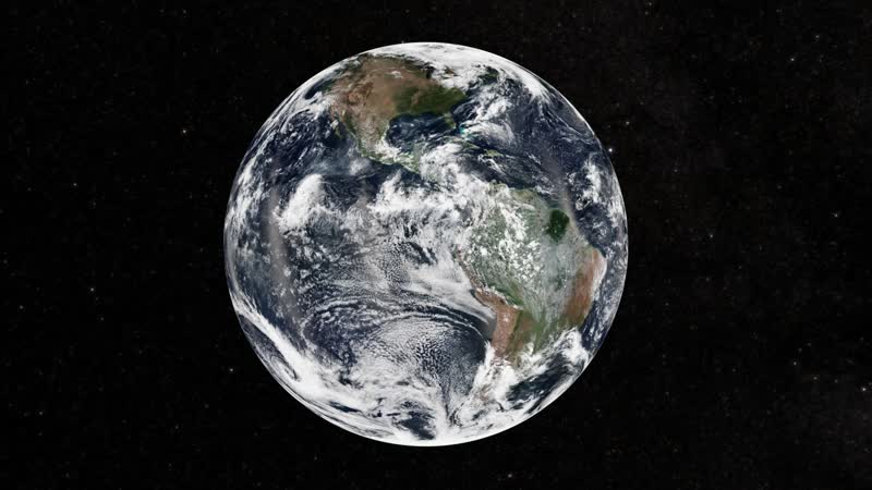
NASA explores. From the far reaches of the cosmos, to right here at home, NASA scientists are uncovering new insights that provide economic and societal benefits to the U.S. and the world. Since NASA was created nearly six decades ago, we have essentially "discovered" how Earth works as a system. It continues to be a fascinating exercise in fundamental science. And we are still discovering. But we aren't just explori

2018NASA Image and Video Library

NASA Studies Snow At The Winter Olympics: D3R B-Roll

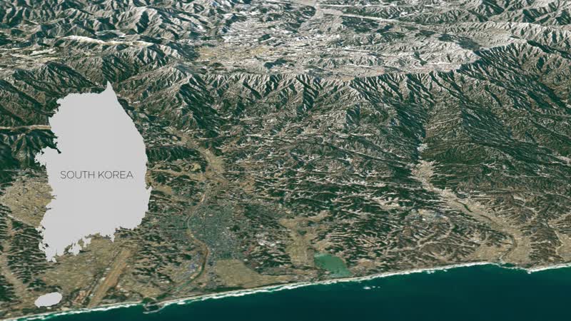
This Winter Olympics, NASA will be studying how well researchers can measure snow from the ground and space and provide better data for snowstorm predictions. NASA will make these observations as one of 20 agencies from eleven countries in a project led by the Korean Meteorological Administration called the International Collaborative Experiments for PyeongChang 2018 Olympic and Paralympic Winter Games, or ICE-POP.

2018NASA Image and Video Library

NASA Studies Snow At The Winter Olympics

This Winter Olympics, NASA will be studying how well researchers can measure snow from the ground and space and provide better data for snowstorm predictions. NASA will make these observations as one of 20 agencies from eleven countries in a project led by the Korean Meteorological Administration called the International Collaborative Experiments for PyeongChang 2018 Olympic and Paralympic Winter Games, or ICE-POP.

2018NASA Image and Video Library

Harmonized Landsat 8 and Sentinel-2 Data: Chesapeake Bay

Landsat 8 and Sentinel-2 satellites have spectral and spatial similarities that make using their data together possible. When the data are used together observations can be more timely and accurate. The HLS project is an effort to "harmonize" the data of the two satellite programs so that they can be more easily used in unison. The ultimate goal is to obtain seamless 2-3 day global surface reflectance coverage at 30

2018NASA Image and Video Library

Harmonized Landsat 8 and Sentinel-2 Data: Columbus Nebraska

Landsat 8 and Sentinel-2 satellites have spectral and spatial similarities that make using their data together possible. When the data are used together observations can be more timely and accurate. The HLS project is an effort to "harmonize" the data of the two satellite programs so that they can be more easily used in unison. The ultimate goal is to obtain seamless 2-3 day global surface reflectance coverage at 30

2018NASA Image and Video Library

Harmonized Landsat 8 and Sentinel-2 Data: Cunningham Kansas

Landsat 8 and Sentinel-2 satellites have spectral and spatial similarities that make using their data together possible. When the data are used together observations can be more timely and accurate. The HLS project is an effort to "harmonize" the data of the two satellite programs so that they can be more easily used in unison. The ultimate goal is to obtain seamless 2-3 day global surface reflectance coverage at 30

2018NASA Image and Video Library

Harmonized Landsat 8 and Sentinel-2 Data: DELMARVA

Landsat 8 and Sentinel-2 satellites have spectral and spatial similarities that make using their data together possible. When the data are used together observations can be more timely and accurate. The HLS project is an effort to "harmonize" the data of the two satellite programs so that they can be more easily used in unison. The ultimate goal is to obtain seamless 2-3 day global surface reflectance coverage at 30

2018NASA Image and Video Library

Harmonized Landsat 8 and Sentinel-2 Data: Eastern Nebraska

Landsat 8 and Sentinel-2 satellites have spectral and spatial similarities that make using their data together possible. When the data are used together observations can be more timely and accurate. The HLS project is an effort to "harmonize" the data of the two satellite programs so that they can be more easily used in unison. The ultimate goal is to obtain seamless 2-3 day global surface reflectance coverage at 30

2018NASA Image and Video Library

Harmonized Landsat 8 and Sentinel-2 Data: Everglades South

Landsat 8 and Sentinel-2 satellites have spectral and spatial similarities that make using their data together possible. When the data are used together observations can be more timely and accurate. The HLS project is an effort to "harmonize" the data of the two satellite programs so that they can be more easily used in unison. The ultimate goal is to obtain seamless 2-3 day global surface reflectance coverage at 30

2018NASA Image and Video Library

Harmonized Landsat 8 and Sentinel-2 Data: Everglades

Landsat 8 and Sentinel-2 satellites have spectral and spatial similarities that make using their data together possible. When the data are used together observations can be more timely and accurate. The HLS project is an effort to "harmonize" the data of the two satellite programs so that they can be more easily used in unison. The ultimate goal is to obtain seamless 2-3 day global surface reflectance coverage at 30

2018NASA Image and Video Library

Scientists Create First-Ever 3D Model of a Melting Snowflake

This visualization is based on the first three-dimensional numerical model of melting snowflakes in the atmosphere, developed by scientist Jussi Leinonen of NASA's Jet Propulsion Laboratory in Pasadena, California. A better understanding of how snow melts can help scientists recognize the signature in radar signals of heavier, wetter snow -- the kind that breaks power lines and tree limbs -- and could be a step towar

2018NASA Image and Video Library

How to View and Share Your Planet with Worldview

NASA’s Worldview app lets you explore Earth as it looks right now or as it looked almost 20 years ago. Through an easy-to-use map interface, you can watch tropical storms developing over the Pacific Ocean; track the movement of icebergs after they calve from glaciers and ice shelves; see wildfires spread and grow as they burn vegetation in its path. Pan-and-zoom to your region of the world to see not only what it loo

2018NASA Image and Video Library

Using Precipitation Data to Assess Risk of Cholera Outbreaks

Diarrheal diseases such as cholera continue to be a public health threat. Prediction of an outbreak of diarrheal disease, specifically cholera, following a natural disaster remains a challenge, especially in regions lacking basic safe civil infrastructure [water, sanitation and hygiene (WASH)]. The underlying mechanism of a cholera outbreak is associated with disruption in the human access to safe WASH infrastructure

2018NASA Image and Video Library

Searching for Signs of Life on Mars

One of the biggest questions in planetary science is whether life ever arose on Mars, and NASA is sending a cutting-edge instrument to the Red Planet to find out. The Mars Organic Molecule Analyzer, or MOMA, is a sophisticated suite of technologies that squeezes a lab full of chemistry equipment into a package the size of a toaster. In 2020, MOMA will be launched to Mars aboard the European Space Agency's ExoMars rov

2018NASA Image and Video Library

NASA Surveys Hurricane Damage to Puerto Rico's Forests

On September 20, 2017, Hurricane Maria barreled across Puerto Rico with winds of up to 155 miles per hour and battering rain that flooded towns, knocked out communications networks and destroyed the power grid. In the rugged central mountains and the lush northeast, Maria unleashed its fury as fierce winds completely defoliated the tropical forests and broke and uprooted trees, and heavy rainfall triggered thousands

2018NASA Image and Video Library

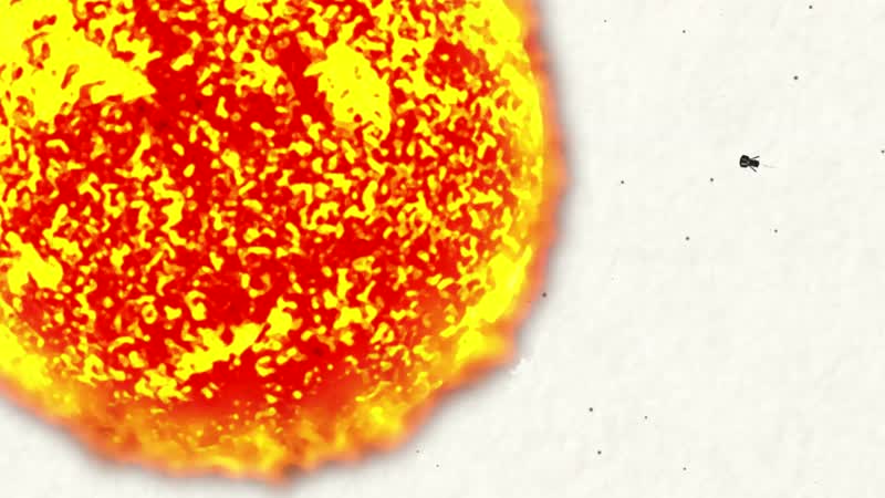
It's Surprisingly Hard to Go to the Sun

The Sun contains 99.8 percent of the mass in our solar system. Its gravitational pull is what keeps everything here, from tiny Mercury to the gas giants to the Oort Cloud, 186 billion miles away. But even though the Sun has such a powerful pull, it's surprisingly hard to actually go to the Sun: It takes 55 times more energy to go to the Sun than it does to go to Mars. Why is it so difficult? The answer lies in the sa

2018NASA Image and Video Library

500th Anniversary of Humanity's First Circumnavigation of Earth

Five hundred years ago the first “orbit” of planet Earth, achieved in the spirit of the first human voyages to the Moon fifty years ago, was undertaken by the Portuguese explorer Magellan, using mission design and exploration guiding principles that remain in force today as we pursue the exploration of space. The connections between what Magellan and his team achieved 500 years ago and the past 60 years of space expl