
Earth Science
Review conditions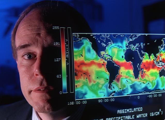
This map shows the presence of water vapor over global oceans. The imagery was produced by combining Special Sensor Microwave Imager measurements and computer models. This data will help scientists better understand how weather systems move water vapor from the tropics toward the poles producing precipitation.
Review conditions
Rights evidence
NASA media-use guidance applies; NASA identifiers, endorsement, third-party material, and personality rights require separate review.
Suggested attribution
Earth Science. Credit: NASA / MSFC.
Earth Science. Credit: NASA / MSFC.
Normalized by rights-v2-discovery. This is evidence routing, not legal advice.