
Earth Science
Review conditions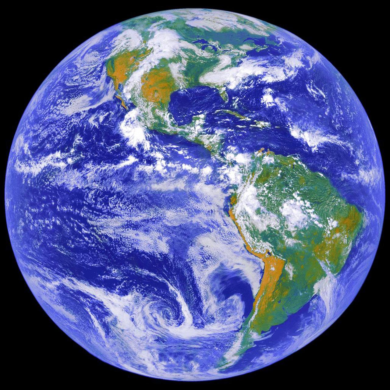
This image depicts a full view of the Earth, taken by the Geostationary Operational Environment Satellite (GOES-8). The red and green charnels represent visible data, while the blue channel represents inverted 11 micron infrared data. The north and south poles were not actually observed by GOES-8. To produce this image, poles were taken from a GOES-7 image. Owned and operated by the National Oceanic and Atmospheric A
Cite the original evidence
Export the archive attribution and source link. Uncertain dates and rights stay explicit; a citation does not grant reuse permission.
Read citation and provenance
Earth Science. NASA Image and Video Library. https://images.nasa.gov/details/0202795. Original archive ID: 0202795 Date as catalogued: Historical date not independently verified Rights: REUSE_ALLOWED_WITH_CONDITIONS. Consult source terms. PastTrace discovery record: https://pasttrace.com/record/nasa-image-MDIwMjc5NQ
Research context: NASA Image and Video Library · United States · Verify this item · Cite the source or clip
Rights evidence
Public access is separate from reuse rights. Normalized by ; verify the original source before reuse.