العربية

NASA Image and Video Library

Records indexed under NASA Image and Video Library, with original identifiers, source links and item-level rights evidence. This is the imported selection, not the institution’s entire holdings. Verify the originating institution when the source is an aggregator.

4,093 matching records; original descriptions and titles are preserved. Search and filters →

Verify the evidence · Cite an item or clip · Rights

2012NASA Image and Video Library

NASA Spacecraft Reveals Recent Geological Activity on the Moon

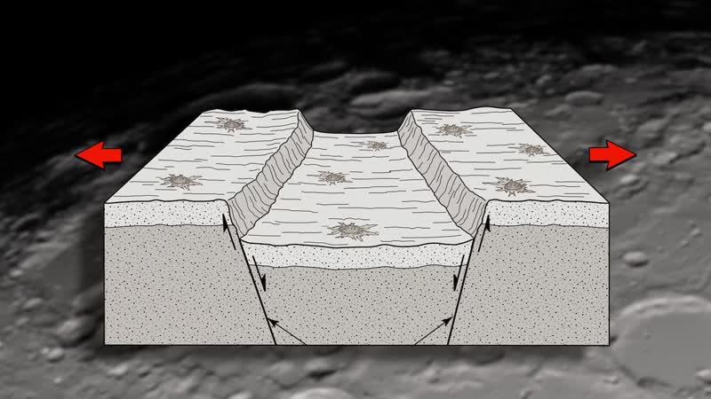
New images acquired by NASA's Lunar Reconnaissance Orbiter (LRO) spacecraft show that the moon's crust is being slightly stretched, forming small valleys - at least in some small areas. High-resolution images obtained by the Lunar Reconnaissance Orbiter Camera (LROC) provide evidence that these valleys are very young, suggesting the moon has experienced relatively recent geologic activity.

2012NASA Image and Video Library

Evaporation and Transpiration

Much of the water that soaks into the soil from irrigation or rain ultimately returns the the atmosphere as water vapor through direct evaporation from the surface or by transpiration through plant leaves as the plants use the water for growth and seed production. This loss cools the surface and plant canopy just like the evaporation of sweat cools our skin. A cool field in an arid area indicates water use by irrigat

2012NASA Image and Video Library

NASA Wraps Up Cold Season Campaign for GPM

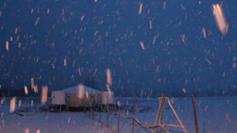
For six weeks in Ontario, Canada, scientists and engineers lead a field campaign to study the science and mechanics of falling snow. The datasets retrieved will be used to generate algorithms which translate what the GPM Core satellite "sees" into precipitation rates, including that of falling snow. Ground validation science manager Walt Petersen gives a summary of the GCPEx field campaign. Field campaigns are critic

2012NASA Image and Video Library

GPM: The Fresh(water) Connection

The Global Precipitation Measurement (GPM) is an international satellite mission to provide next-generation observations of rain and snow worldwide every three hours. NASA and the Japan Aerospace Exploration Agency (JAXA) will launch a "Core" satellite carrying advanced instruments that will set a new standard for precipitation measurements from space. The data they provide will be used to unify precipitation measure

2012NASA Image and Video Library

Space Geodesy Profiles: Jan McGarry

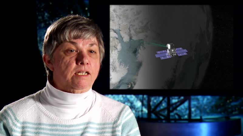
Scientists from NASA's Space Geodesy Project discuss the techniques they use to precisely measure the Earth's position in the universe, determine the Earth's center of mass, calibrate satellites, observe sea level rise, and track the movements of the tectonic plates. Mathematician Jan McGarry discusses the science and history of Satellite Laser Ranging (SLR), her role in developing the Next Generation Satellite Laser

2012NASA Image and Video Library

Earth Science Week: Career Spotlights: Janel Thomas

A short video profile of Janel Thomas. She was a member of NASA's Genesis and Rapid Intensification Processes (GRIP) field campaign in 2010 where she operated the dropsonde instrument onboard NASA's DC-8 aircraft. She was a part of four successful missions into Hurricane Earl during late August and early September, 2010. Her research extends from the GRIP project where she is investigating the rapid intensification o

2012NASA Image and Video Library

Planetary Scientist Profile: Lynn Carter

From a distance, the dry, ancient surfaces of the Moon, Venus, and Mars look nothing like the dynamic planet we live on. But the same forces that shape our world — volcanoes, plate tectonics, and impact craters — have also driven the evolution of our closest neighbors. As part of NASA's Planetary Geodynamics Laboratory, scientist Lynn Carter discusses her passion for geology, both here on Earth and throughout the sol

2013NASA Image and Video Library

Landsat Data Continuity Mission Orbital Sciences Corp. B-Roll

The Landsat Data Continuity Mission (LDCM) is a collaboration between NASA and the U.S. Geological Survey that will continue the Landsat Program's 40-year data record of monitoring Earth's landscapes from space. LDCM will expand and improve on that record with observations that advance a wide range of Earth sciences and contribute to the management of agriculture, water and forest resources. The LDCM observatory was

2013NASA Image and Video Library

Landsat Data Continuity Mission: Spacecraft Flow

The Landsat Data Continuity Mission (LDCM) is a collaboration between NASA and the U.S. Geological Survey that will continue the Landsat Program's 40-year data record of monitoring Earth's landscapes from space. LDCM will expand and improve on that record with observations that advance a wide range of Earth sciences and contribute to the management of agriculture, water and forest resources. The LDCM observatory was

2013NASA Image and Video Library

The Moon's Permanently Shadowed Regions

As you watch the Moon over the course of a month, you'll notice that different features are illuminated by the Sun at different times. However, there are some parts of the Moon that never see sunlight. These areas are called permanently shadowed regions, and they appear dark because unlike on the Earth, the axis of the Moon is nearly perpendicular to the direction of the sun's light. The result is that the bottoms of

2013NASA Image and Video Library

LDCM Spacecraft Separation

The Landsat Data Continuity Mission launched on February 11, 2013, from Vandenberg Air Force Base aboard an Atlas V-401 rocket. LDCM will be renamed Landsat 8 when operations are handed over to the US Geological Survey on May 30, 2013. NASA and the U.S. Department of the Interior through the U.S. Geological Survey (USGS) jointly manage Landsat, and the USGS preserves a 40-year archive of Landsat images that is freely