
Sentinel-6 Michael Freilich Spacecraft Animations
Review conditions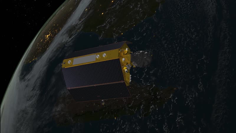
Animations for media and public use. These animations show the Sentinel-6 Michael Freilich satellite orbiting Earth and measuring global sea surface height with an accuracy down to a few centimeters for more than 90% of the world’s oceans. By measuring sea surface height, scientists worldwide are able to monitor sea level rise, track climate patterns, improve hurricane forecasts and monitor and understand ocean currents. This reel includes several shots of Sentinel-6 Michael Freilich's science instruments at work. To measure sea surface height, this satellite has an altimeter that will bounce radio waves off the ocean surface (red pulses) and time how long those pulses take to travel back to the spacecraft. A radiometer looks through the atmosphere (visualized as a blue beam) and tells us how much water is in the air. The radio occultation experiment uses the signals (in purple) from GPS satellites (purple) as they disappear or appear over the horizon will tell us about layers in our atmosphere. Precisely determining the position of the satellite is important for this mission since it records extremely small variations in sea level. One way engineers determine its location is to me
Rights evidence
NASA media-use guidance applies; NASA identifiers, endorsement, third-party material, and personality rights require separate review.
Sentinel-6 Michael Freilich Spacecraft Animations. Credit: NASA / JPL.
Normalized by rights-v2-discovery. This is evidence routing, not legal advice.