
NASA and USGS Map Geological Content
Review conditions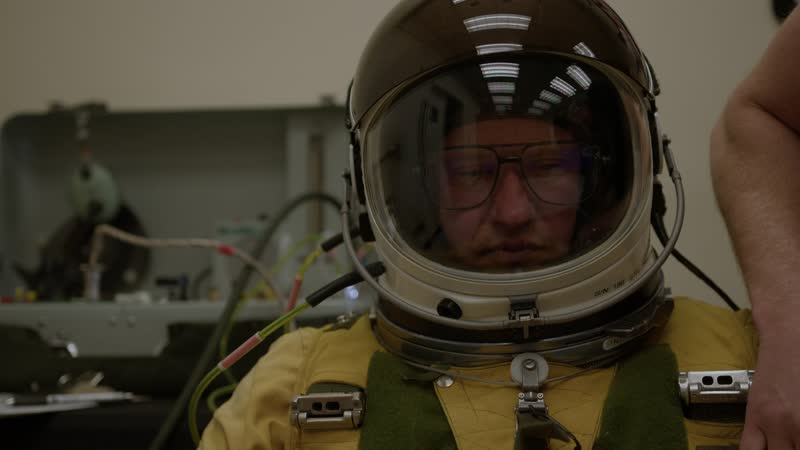
: In its third year of data collection, the Geological Earth Mapping Experiment (GEMx) is using NASA’s high-flying ER-2 aircraft to map geology and minerals across the western United States in May 2025. The ER-2, based at NASA’s Armstrong Flight Research Center in Edwards, California, can fly at 65,000 feet – above 95% of Earth’s atmosphere – making it ideal for this kind of science mission. Researchers are using the latest version of the Airborne Visible/Infrared Imaging Spectrometer (AVIRIS) instrument, AVIRIS-5, to collect visible, shortwave infrared and thermal infrared data about the surface below. The GEMx mission is a joint effort between NASA and the U.S. Geological Survey to improve scientific understanding of the region’s geology and natural resources.
Rights evidence
NASA media-use guidance applies; NASA identifiers, endorsement, third-party material, and personality rights require separate review.
NASA and USGS Map Geological Content. Credit: NASA / AFRC.
Normalized by rights-v2-discovery. This is evidence routing, not legal advice.