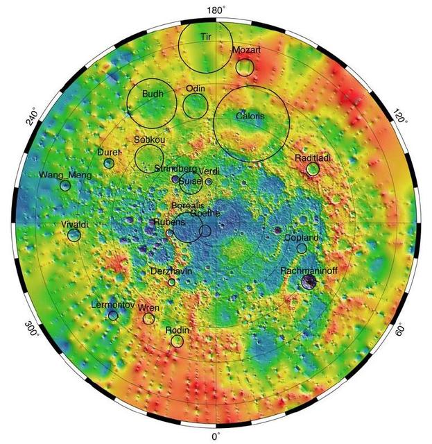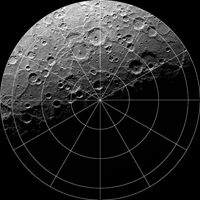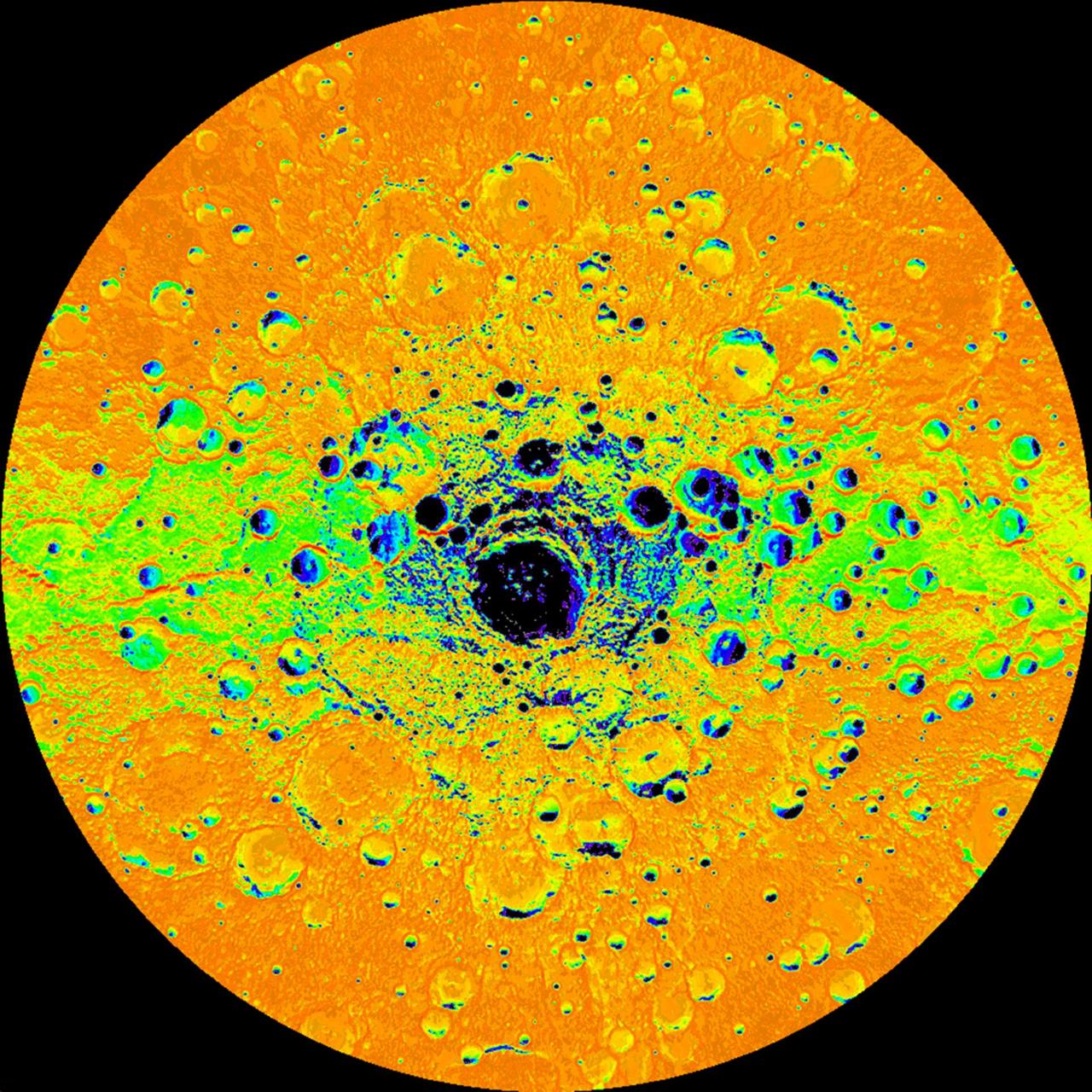
Illumination Map of Mercury South Pole
Illumination Map of Mercury South Pole
Records indexed under NASA Image and Video Library, with original identifiers, source links and item-level rights evidence. This is the imported selection, not the institution’s entire holdings. Verify the originating institution when the source is an aggregator.
4,093 matching records; original descriptions and titles are preserved. Search and filters →
Verify the evidence · Cite an item or clip · Rights
Illumination Map of Mercury South Pole
Mercury Topography from MLA
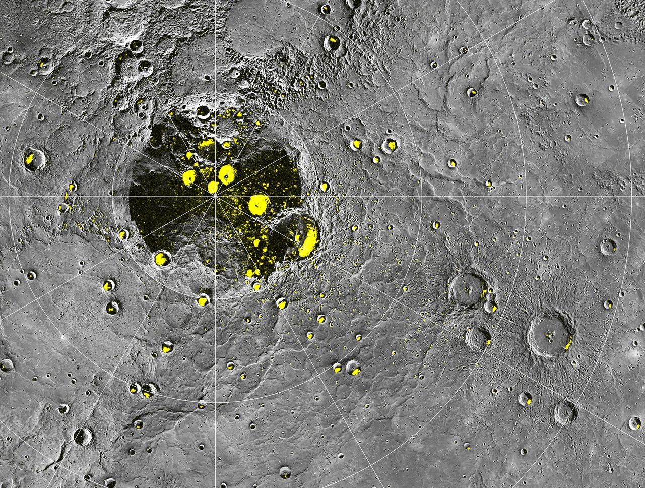
Radar-bright Deposits near Mercury North Pole
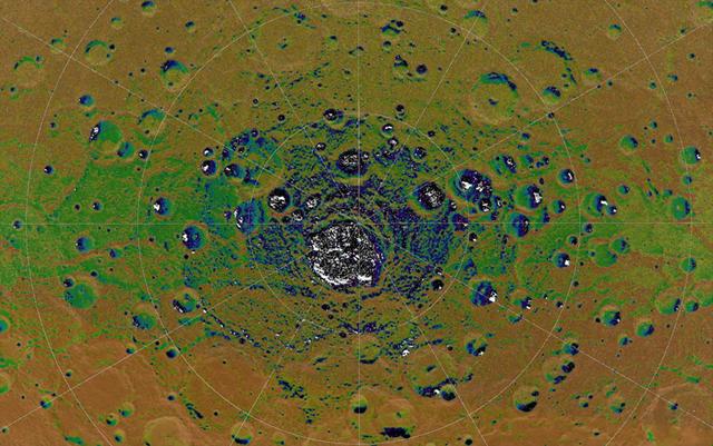
Permanent Shadows at Mercury South Pole
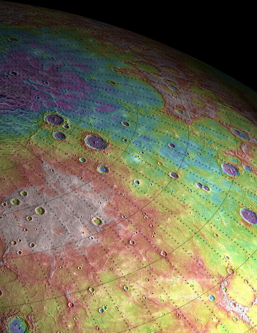
Perspective View of Mercury Topography
Movie of Mercury South Pole
Mercury Other Colors
Revelations on Mercury
The Man Who Set Mercury to Music
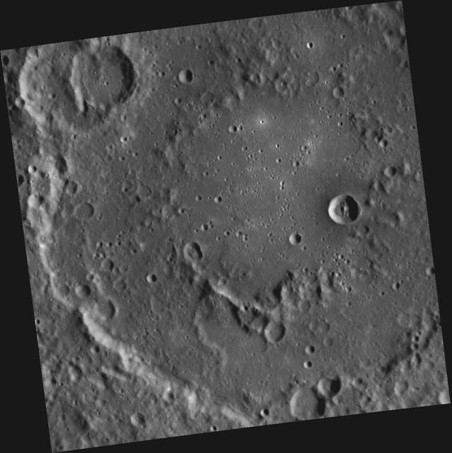
It All Mercury Fault
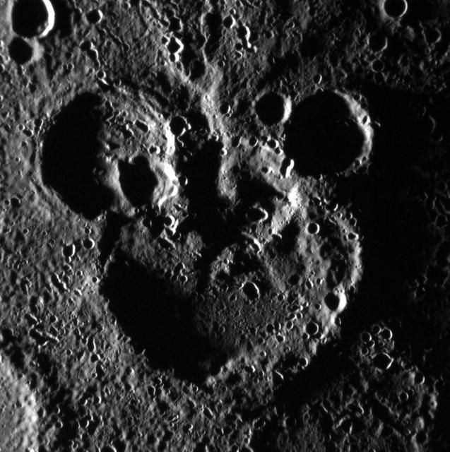
Mickey Mouse Spotted on Mercury!
Mercury Kidney
This graphic shows the flux of radiation detected by NASA Mars Science Laboratory on the trip from Earth to Mars; the spikes in radiation levels occurred because of large solar energetic particle events caused by giant flares on the sun.
Mercury in Limb-o
Mercury and the Deathly Hollows
The Sleepy Hollows of Mercury
Color coding in this image of Mars represents differences in elevation, measured by NASA Mars Global Surveyor. While surface liquid water is rare and ephermal on modern Mars.
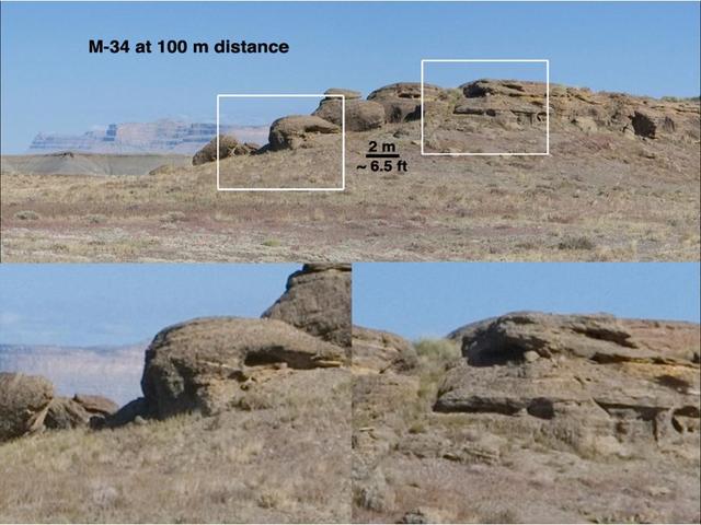
This set of views illustrates capabilities of the Mast Camera MastCam instrument on NASA Mars Science Laboratory Curiosity rover, using a scene on Earth as an example of what MastCam two cameras can see from different distances.
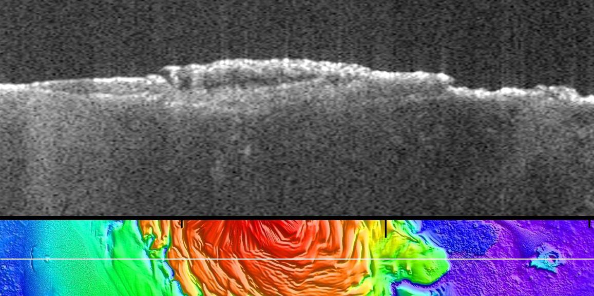
This radargram profile from ESA Mars Express and NASA Mars Global Surveyor orbiter shows data from the subsurface of Mars in the ice-rich north polar plateau of Mars.
Mercury Globe: 0°N, 0°E
Mercury Globe: 0°N, 90°E
Mercury Globe: 0°N, 180°E
Mercury Globe: 0°N, 270°E
Mercury Globe: South Pole