UP Aerospace Rocket Poised for Launch from NM to Carry NASA Tech
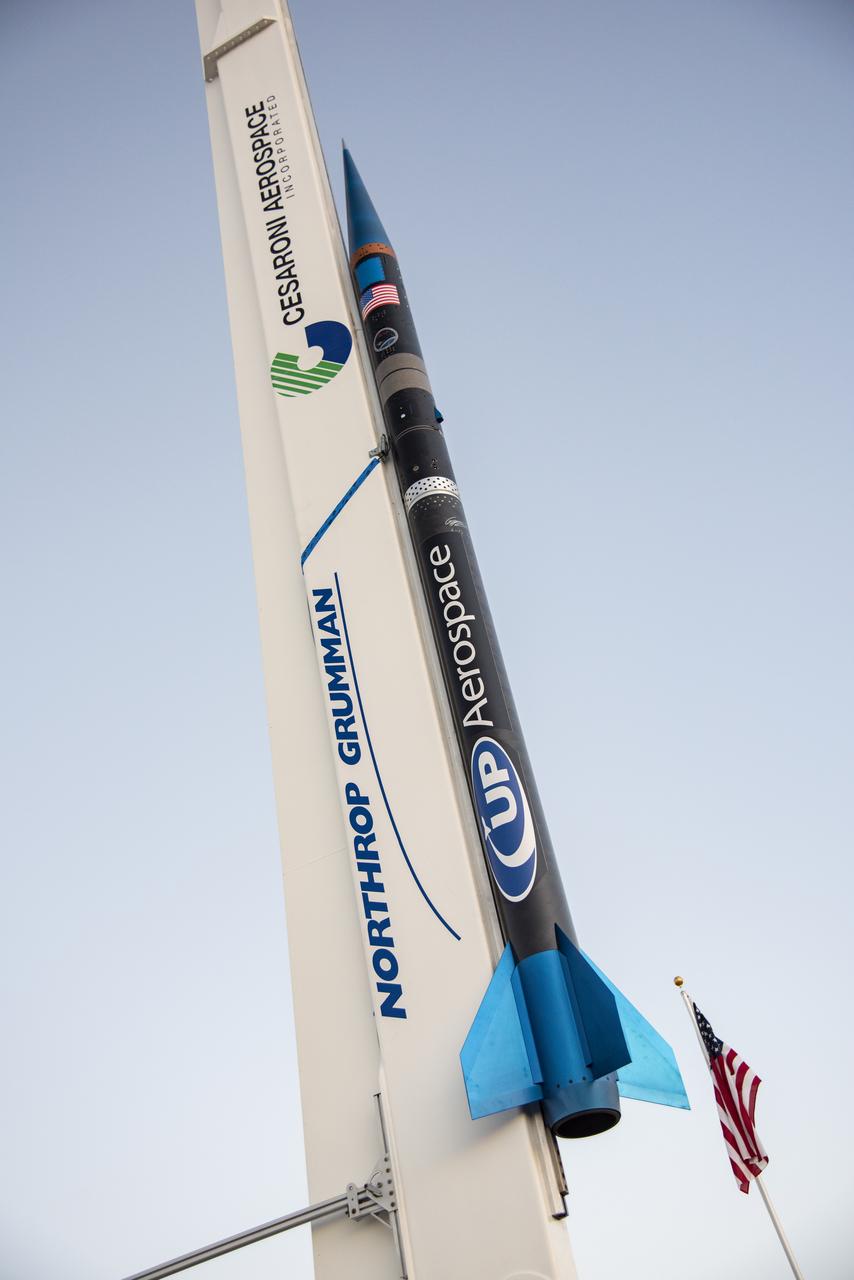
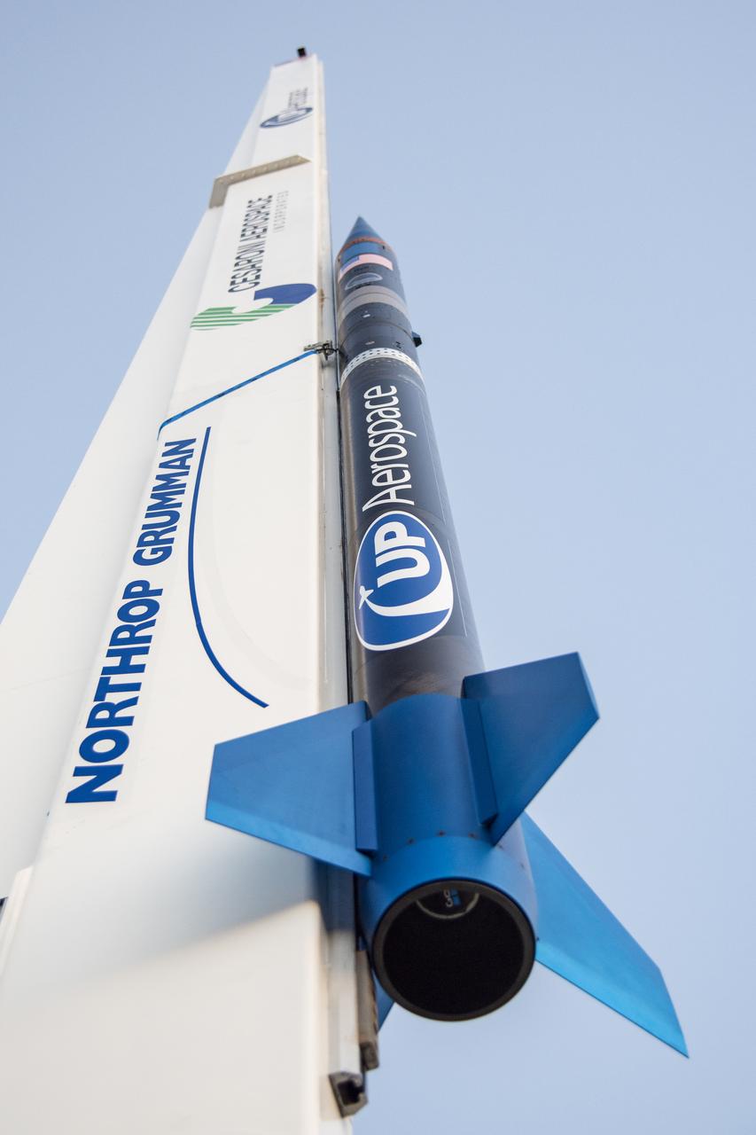
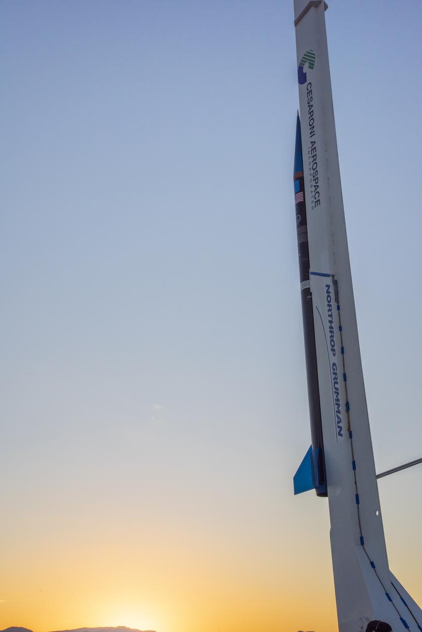
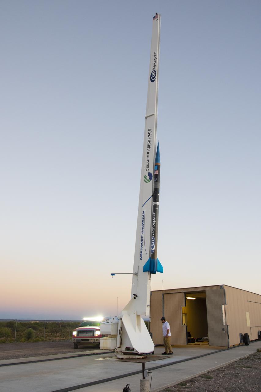
NASA's Flight Opportunities funds flight of space technology on UP Aerospace's rocket poised to launch at Spaceport America in New Mexico.
Records indexed under NASA Image and Video Library, with original identifiers, source links and item-level rights evidence. This is the imported selection, not the institution’s entire holdings. Verify the originating institution when the source is an aggregator.
4,093 matching records; original descriptions and titles are preserved. Search and filters →
Verify the evidence · Cite an item or clip · Rights
NASA's Flight Opportunities funds flight of space technology on UP Aerospace's rocket poised to launch at Spaceport America in New Mexico.
NASA’s Flight Opportunities funds flight of space technology on UP Aerospace’s rocket poised to launch at Spaceport America in New Mexico.
NASA’s Flight Opportunities funds flight of space technology on UP Aerospace’s rocket poised to launch at Spaceport America in New Mexico.
NASA’s Flight Opportunities funds flight of space technology on UP Aerospace’s rocket poised to launch at Spaceport America in New Mexico.
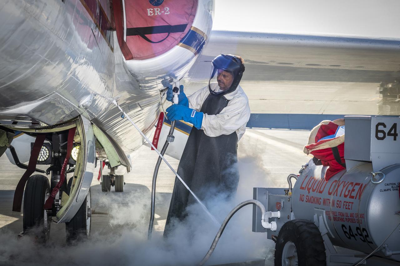
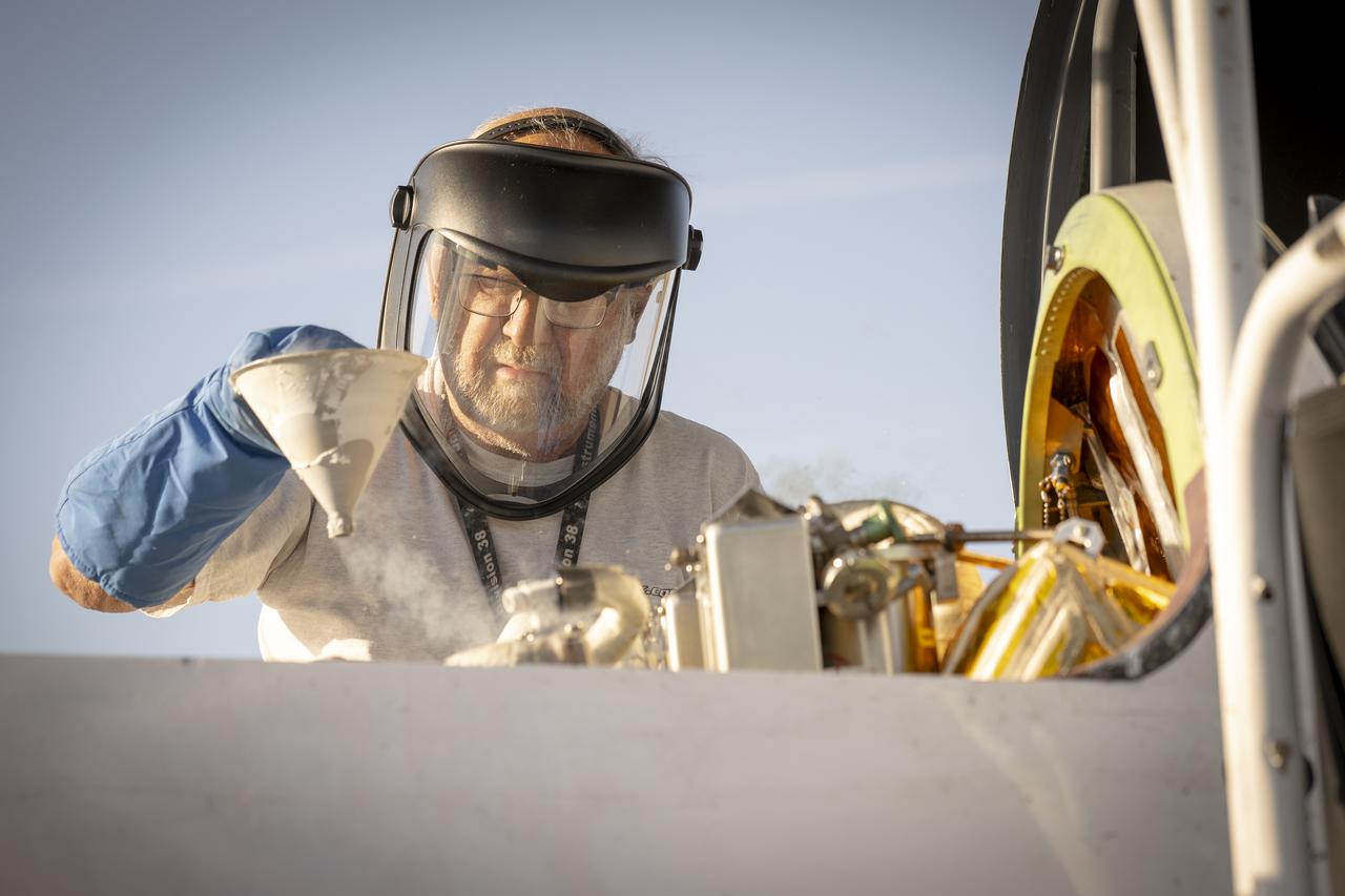
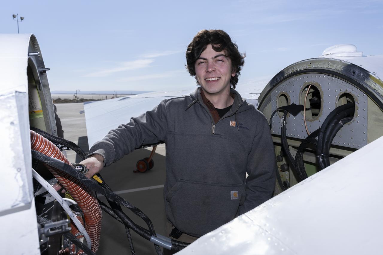
Francisco Rodriguez (aircraft mechanic) services liquid oxygen or LOX on the ER-2 during the Geological Earth Mapping Experiment (GEMx) research project. Experts like Rodriguez sustain a high standard of safety on airborne science aircraft like the ER-2 and science missions like GEMx. The ER-2 is based out of NASA’s Armstrong Flight Research Center in Edwards, California.
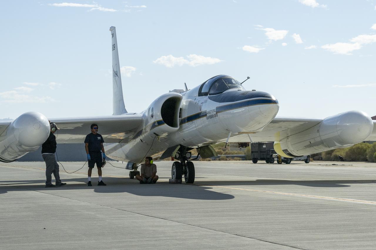
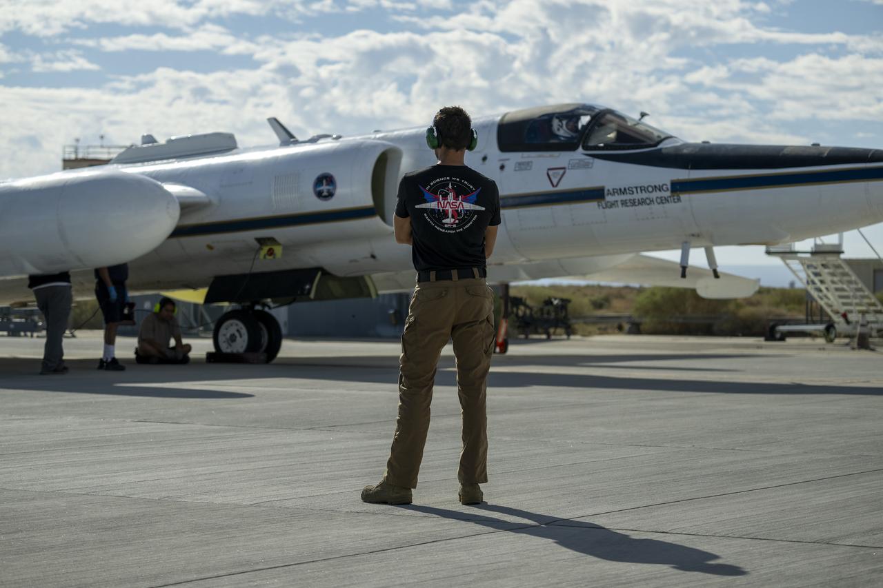
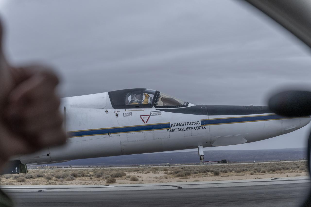
Crew members prepare NASA Armstrong Flight Research Center’s ER-2 aircraft for flight at Edwards, California, on Tuesday, Sept. 23, 2025, in support of the Geological Earth Mapping Experiment (GEMx). The high-altitude science aircraft operates between 20,000 and 70,000 feet. For this mission, pilots flew at approximately 65,000 feet, requiring them to wear specially designed pressure suits.
Crew members prepare NASA Armstrong Flight Research Center’s ER-2 aircraft for flight at Edwards, California, on Tuesday, Sept. 23, 2025, in support of the Geological Earth Mapping Experiment (GEMx). The high-altitude science aircraft operates between 20,000 and 70,000 feet. For this mission, pilots flew at approximately 65,000 feet, requiring them to wear specially designed pressure suits.
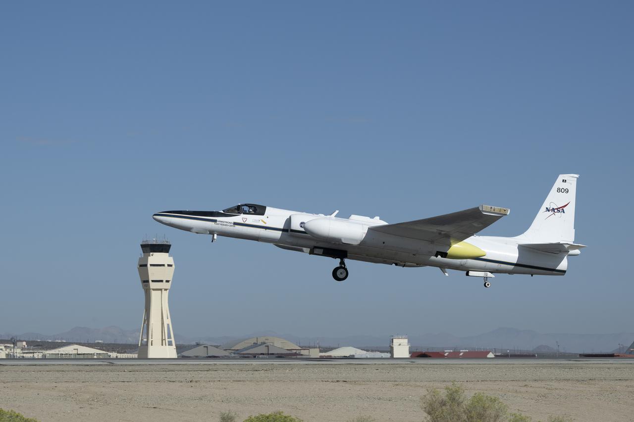
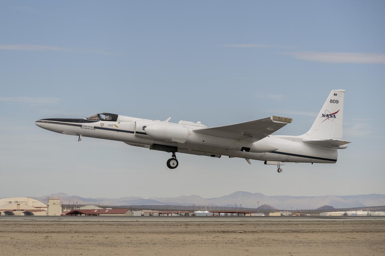
NASA Armstrong Flight Research Center’s ER-2 aircraft lifts off from Edwards, California, on Tuesday, Sept. 23, 2025, in support of the Geological Earth Mapping Experiment (GEMx). The high-altitude science aircraft operates between 20,000 and 70,000 feet. For this mission, pilots flew at approximately 65,000 feet, requiring them to wear specially designed pressure suits.
A crew member handles liquid nitrogen servicing for NASA’s Armstrong Flight Research Center’s ER-2 aircraft at Edwards, California, on Thursday, Aug. 21, 2025. Liquid nitrogen is used to support key science instruments for extended flight durations in critical research missions, such as the Geological Earth Mapping Experiment (GEMx), which requires flights of up to eight hours at approximately 65,000 feet altitude.
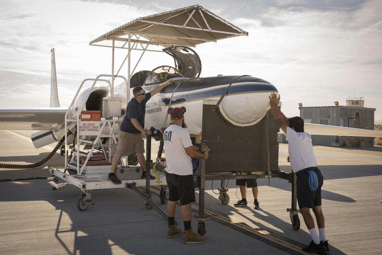
Crew members reattach the nose cone of NASA’s Armstrong Flight Research Center’s ER-2 aircraft at Edwards, California, on Thursday, Aug. 21, 2025, ahead of a mission for the Geological Earth Mapping Experiment (GEMx). The aircraft’s nose houses key science instruments used to collect data during flight.
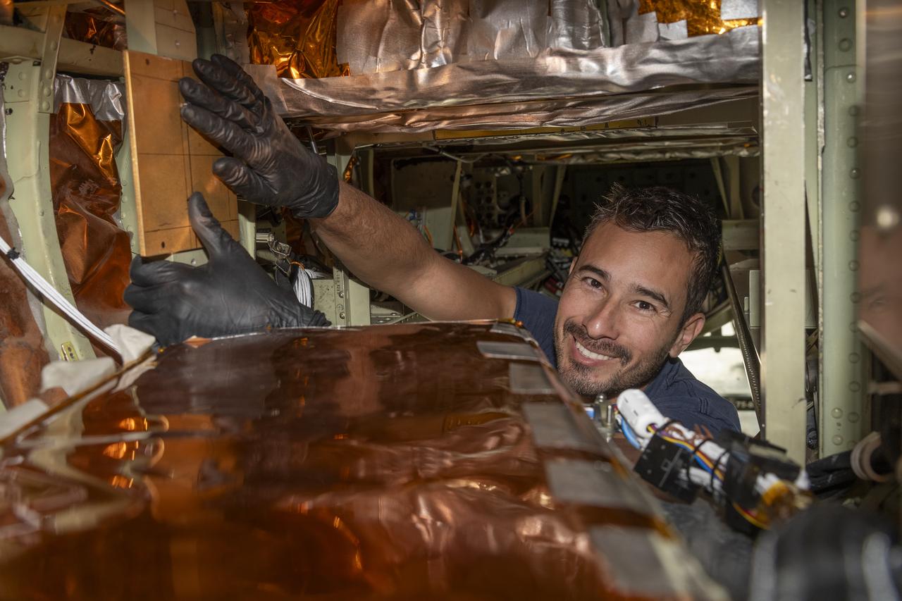
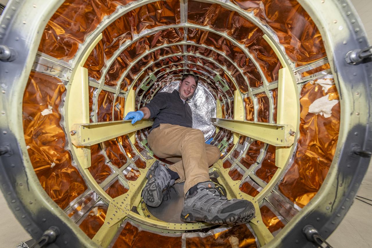
A team of experts prepares the ER-2 aircraft at Armstrong Flight Research Center in Edwards, California for the GSFC Lidar Observation and Validation Experiment (GLOVE) in February 2025. Aircraft mechanic Darick Alvarez-Alonzo installs a satellite-simulating instrument which will fly at high altitudes on the ER-2 to validate satellite-borne data. As a collaboration between engineers, scientists, and aircraft professi
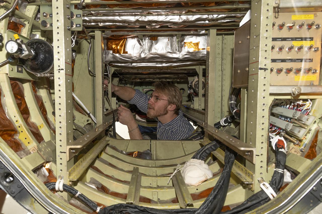
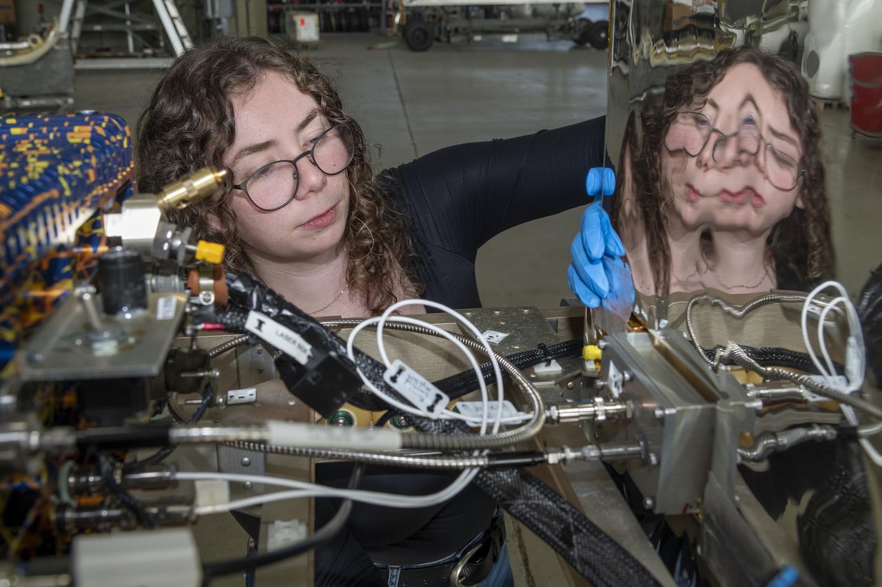
A team of experts prepares the ER-2 aircraft at Armstrong Flight Research Center in Edwards, California for the GSFC Lidar Observation and Validation Experiment (GLOVE) in February 2025. Researcher Jackson Begolka from the University of Iowa examines the instrument connectors in the ER-2 onboard the ER-2, which flies at high altitudes to validate satellite-borne data. As a collaboration between engineers, scientists,
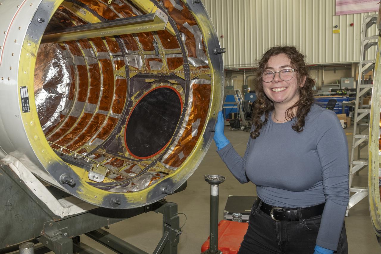
A team of experts prepares the ER-2 aircraft at Armstrong Flight Research Center in Edwards, California for the GSFC Lidar Observation and Validation Experiment (GLOVE) in February 2025. Researcher Jennifer Moore from NASA’s Goddard Space Flight Center smiles beside the ER-2 aircraft’s forebody pod where the Cloud Physics Lidar (CPL) instrument will be installed. As a collaboration between engineers, scientists, and
A team of experts prepares the ER-2 aircraft at Armstrong Flight Research Center in Edwards, California for the GSFC Lidar Observation and Validation Experiment (GLOVE) in February 2025. Researcher Grant Finneman from the University of Iowa installs the insulations at the front of the ER-2 forebody pod where the Cloud Physics Lidar (CPL) flies. As a collaboration between engineers, scientists, and aircraft profession
A team of experts prepares the ER-2 aircraft at Armstrong Flight Research Center in Edwards, California for the GSFC Lidar Observation and Validation Experiment (GLOVE) in February 2025. Researcher Jennifer Moore checks the cabling on the Roscoe instrument which flew at high altitudes on the ER-2. As a collaboration between engineers, scientists, and aircraft professionals, GLOVE aims to improve satellite data produc
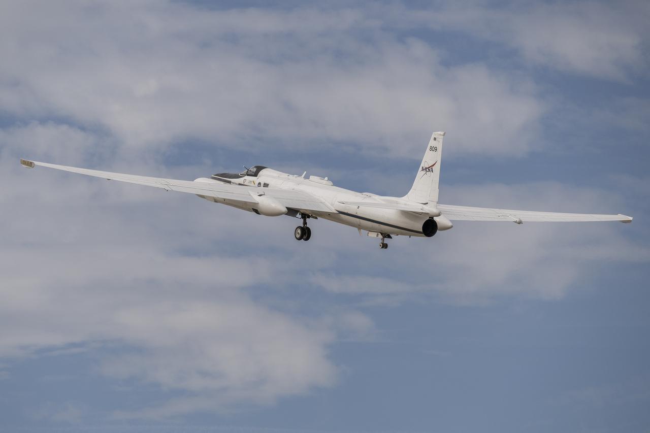
A team of experts wrap up science flights on the ER-2 aircraft at Armstrong Flight Research Center in Edwards, California after the GSFC Lidar Observation and Validation Experiment (GLOVE) in February 2025. Pilot Tim Williams ascends the ER-2 on the runway for one of the final science flights validating satellite-borne data. As a collaboration between engineers, scientists, and aircraft professionals, GLOVE aims to i
A team of experts wrap up science flights on the ER-2 aircraft at Armstrong Flight Research Center in Edwards, California after the GSFC Lidar Observation and Validation Experiment (GLOVE) in February 2025. Pilot Tim Williams ascends the ER-2 to higher skies for one of the final science flights validating satellite-borne data. As a collaboration between engineers, scientists, and aircraft professionals, GLOVE aims to
A team of experts wrap up science flights on the ER-2 aircraft at Armstrong Flight Research Center in Edwards, California after the GSFC Lidar Observation and Validation Experiment (GLOVE) in February 2025. Nikolas Gibson from NASA Ames Research Center integrates the enhanced MODIS Airbrone Simulator (eMAS) instrument onto the ER-2. As a collaboration between engineers, scientists, and aircraft professionals, GLOVE a
A team of experts wrap up science flights on the ER-2 aircraft at Armstrong Flight Research Center in Edwards, California after the GSFC Lidar Observation and Validation Experiment (GLOVE) in February 2025. Pilot Kirt Stallings ascends the ER-2 on the runway for one of the final science flights validating satellite-borne data. As a collaboration between engineers, scientists, and aircraft professionals, GLOVE aims to
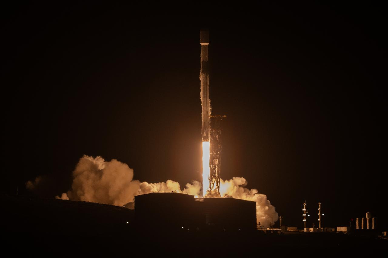
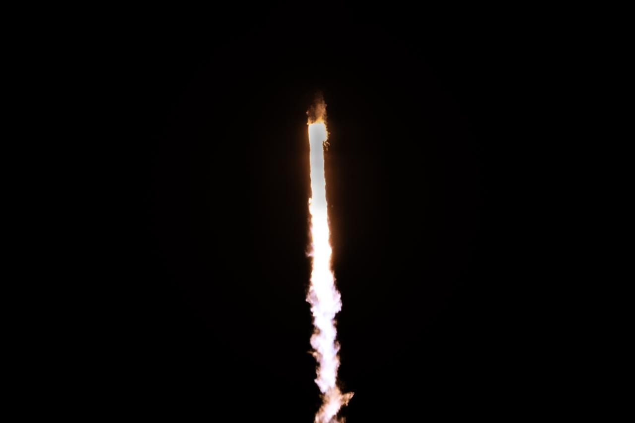
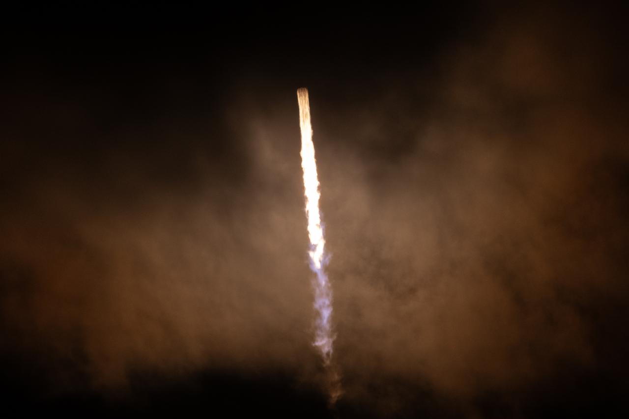
A SpaceX Falcon 9 rocket, carrying NASA’s SPHEREx (Spectro-Photometer for the History of the Universe, Epoch of Reionization and Ices Explorer) observatory and PUNCH (Polarimeter to Unify the Corona and Heliosphere) satellites, launches from Space Launch Complex 4 East at Vandenberg Space Force Base in California on Tuesday, March 11, 2025. SPHEREx will use its telescope to provide an all-sky spectral survey, creatin
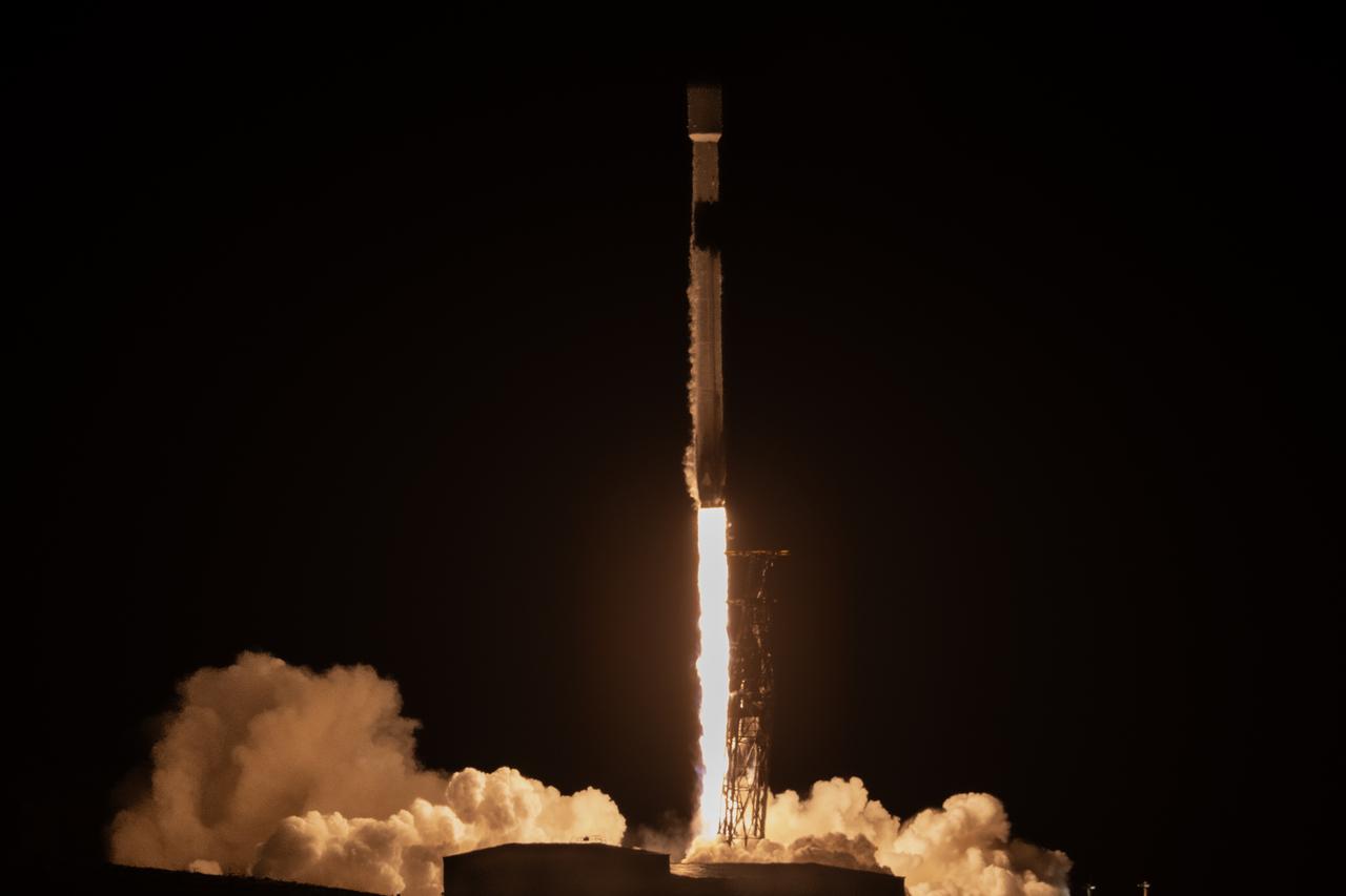
A SpaceX Falcon 9 rocket, carrying NASA’s SPHEREx (Spectro-Photometer for the History of the Universe, Epoch of Reionization and Ices Explorer) observatory and PUNCH (Polarimeter to Unify the Corona and Heliosphere) satellites, launches from Space Launch Complex 4 East at Vandenberg Space Force Base in California on Tuesday, March 11, 2025. SPHEREx will use its telescope to provide an all-sky spectral survey, creatin
A SpaceX Falcon 9 rocket, carrying NASA’s SPHEREx (Spectro-Photometer for the History of the Universe, Epoch of Reionization and Ices Explorer) observatory and PUNCH (Polarimeter to Unify the Corona and Heliosphere) satellites, launches from Space Launch Complex 4 East at Vandenberg Space Force Base in California on Tuesday, March 11, 2025. SPHEREx will use its telescope to provide an all-sky spectral survey, creatin
A SpaceX Falcon 9 rocket, carrying NASA’s SPHEREx (Spectro-Photometer for the History of the Universe, Epoch of Reionization and Ices Explorer) observatory and PUNCH (Polarimeter to Unify the Corona and Heliosphere) satellites, launches from Space Launch Complex 4 East at Vandenberg Space Force Base in California on Tuesday, March 11, 2025. SPHEREx will use its telescope to provide an all-sky spectral survey, creatin
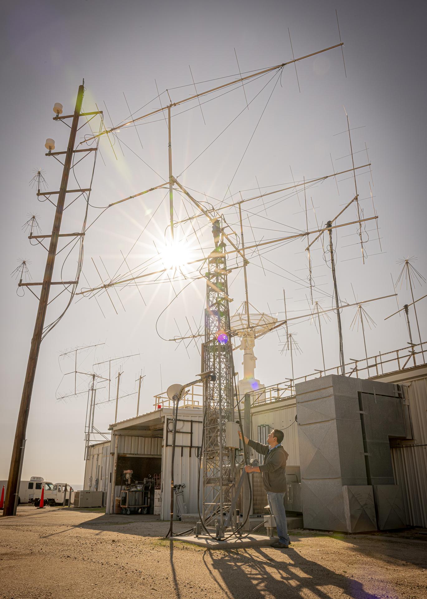
Mission operator Kelvin Menendez watches as antennas rise to track the International Space Station as it passes high above NASA’s Armstrong Flight Research Center in Edwards, California, on Sept. 30, 2025. Menendez is part of the center’s Dryden Aeronautical Test Range, which provides voice and tracking support to the space station.